Skip to main contentResource added 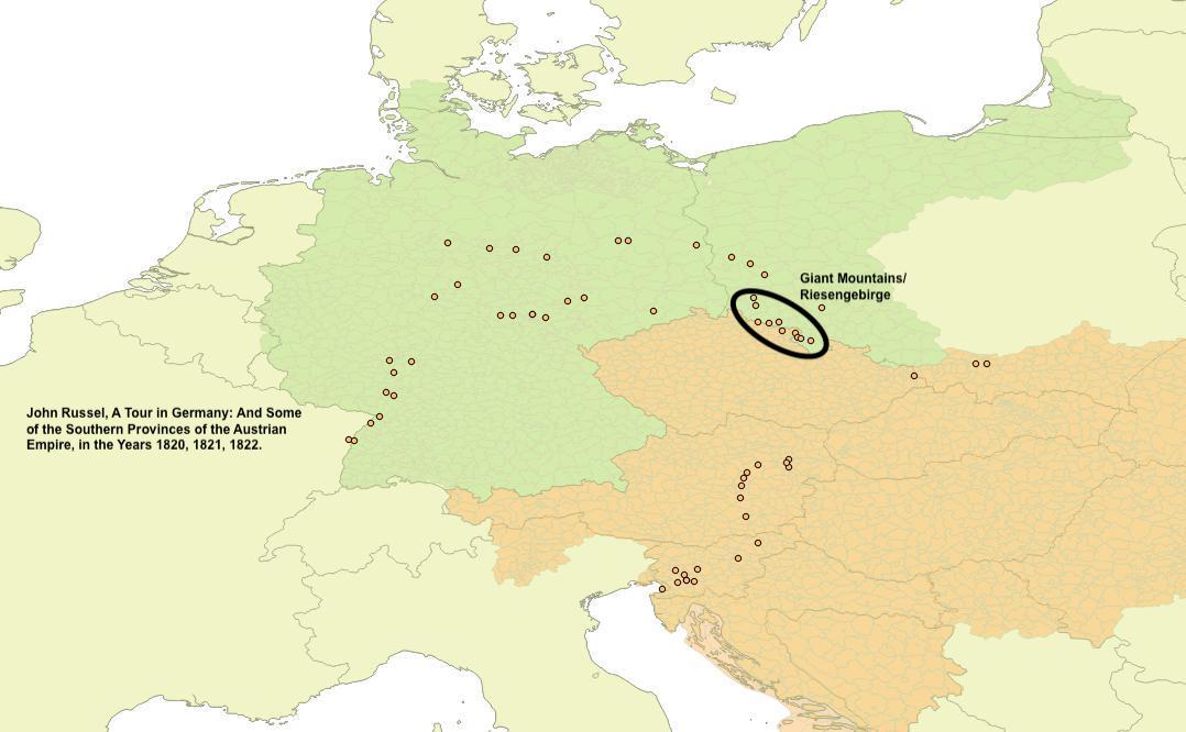


Map of cities along routes in John Russel’s A Tour in Germany, and some of the southern provinces of the Austrian empire, in the years 1820, 1821, 1822 (Edinburgh, 1824)
Giant Mountains circled.
Comments
to view and add comments.
Annotations
No one has annotated a text with this resource yet.
- typeImage
- created on
- file formatjpeg
- file size70 kB
- copyright statusIn Copyright
- creatorKarin Baumgartner
- rightsCC BY-NC
- rights holderKarin Baumgartner